|
||||
GEOLOGY
|
2009 Field Trip Reports |
Styal Secret Garden (October 2009) |
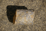
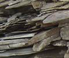
triassic sandstone |
|||
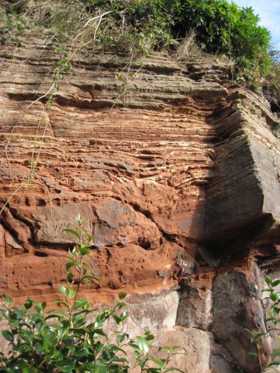
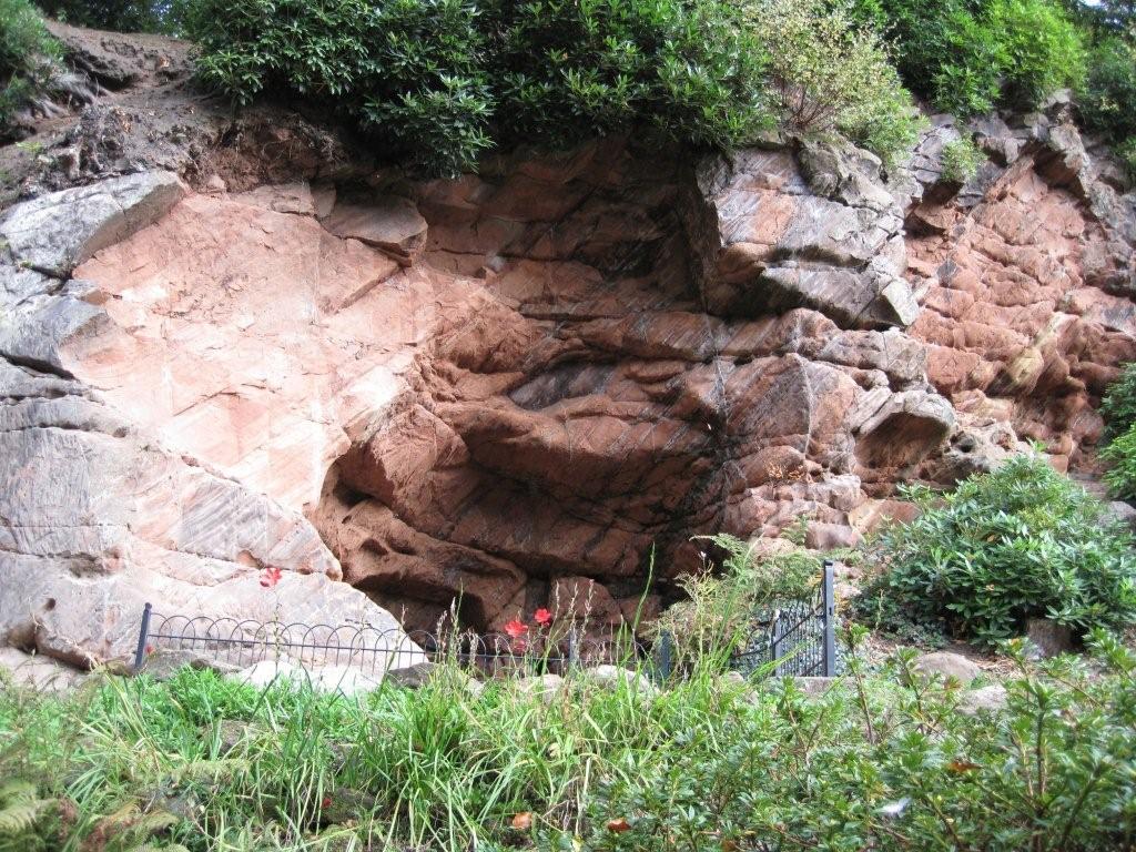
First location visited: 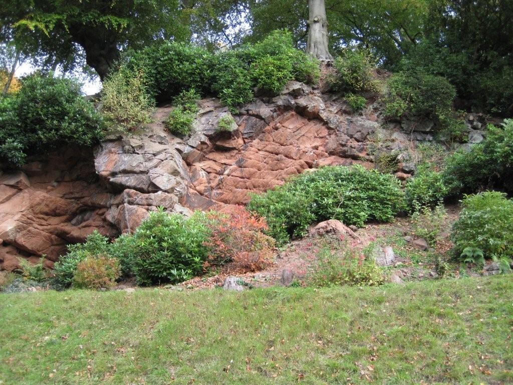 General view of the first outcrop (Weir sandstone) taken from the path. |
The age of these rocks is lower Triassic when the British Isles were located about the latitude of today's Sahara desert. That is why the rocks were deposited in desert conditions. The red colouration is due to iron oxide. |
The face here is a section of a fossil sand dune. We are looking at the down-wind side, ie the wind blew from right to left. 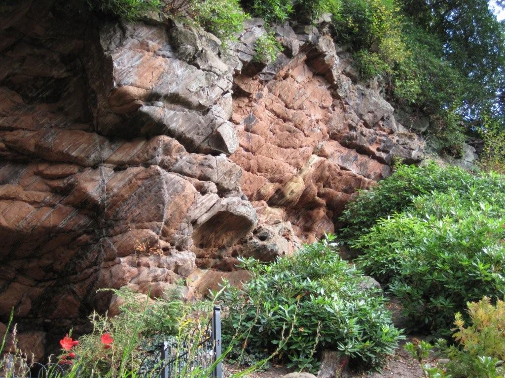 |
The angle of slope is too steep for the angle of rest, hence there must have been some later tilting of the beds by earth movements.The yellow bands are where the iron rich deposits have been leached by percolating fluids of gases, eg methane. |
On the left, the rock face is that of an eighteenth century quarry, the rock being used for possibly building the basement of the mill and for Quarry Bank House. |
 |
||
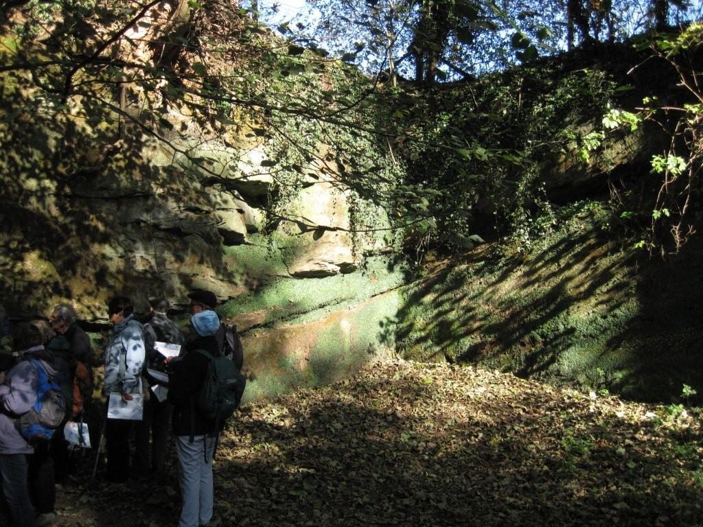
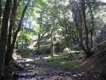
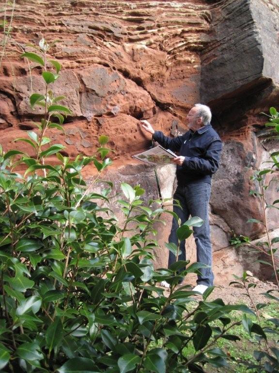
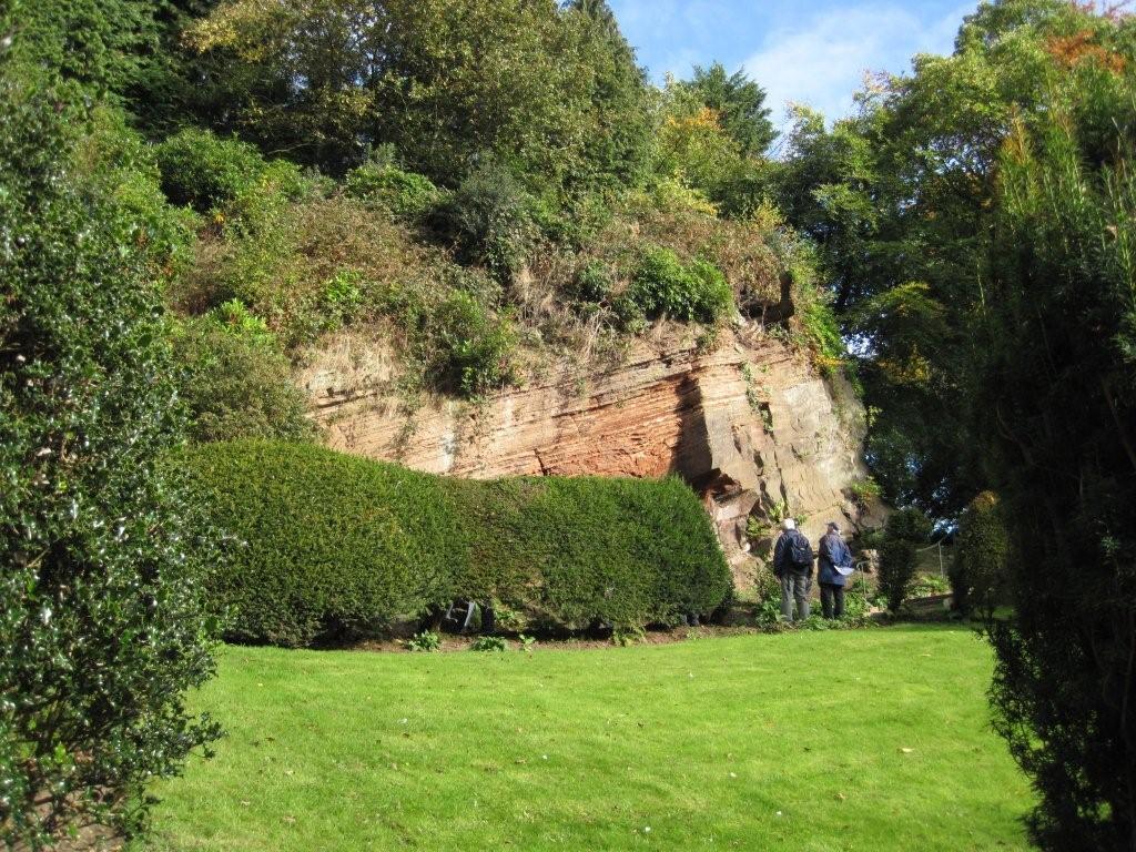
lake deposit in the secret garden |
|||
|
The beds were originally hoizontal but have been tilted by subsequent earth movements. The downward distortion of certain layers are called water escape structures. Water has risen within the deposit and sand has slumped into the space left. The vibration which caused this may have been an earthquake. |
 |
|
 |
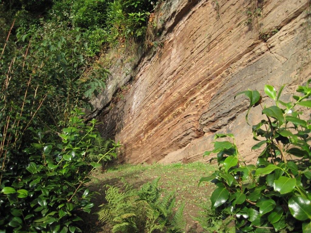 |
These are thin layers of fine sand and silt deposited in gently flowing water. They were originally horizontal but have been tilted by later earth movements. They are higher in the sequence, being above the sand dune deposits seen at the first location. | |
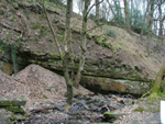
Worm's Hill quarry |
|||
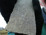
This is another building stone quarry in a series of rocks called the Worms Hill Conglomerate and Sandstone. |
It is lower in the succession than the dune deposits. These sandstones have a few pebbles in them and it is thought that they were derived from mountains in the south in Brittany. |
 |
The green beds in Worms Hill Quarry are marl (much more easily eroded) deposited in temporary lakes. They are the only beds where fossils are found (except dinosaur footprints!) – fossil fresh water shrimps, similar to desert lakes in Australia today. |
 |
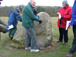
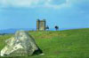
Some members of the geology group admire the Chatsworth Grit at Tegg's Nose, near Macclesfield (click on image to enlarge) |
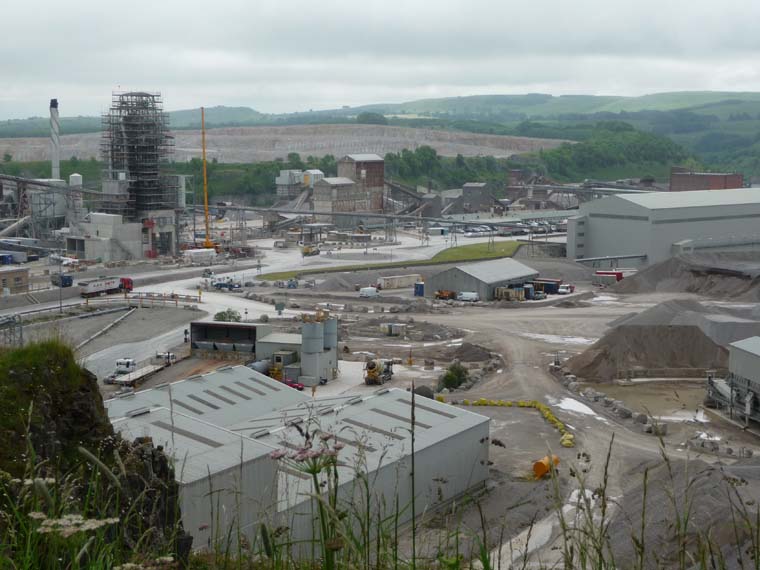
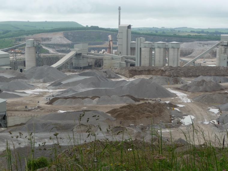
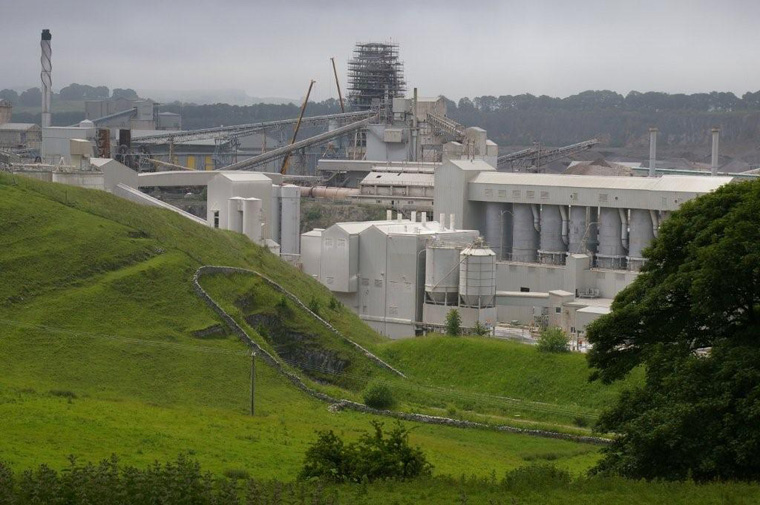
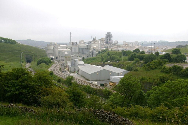
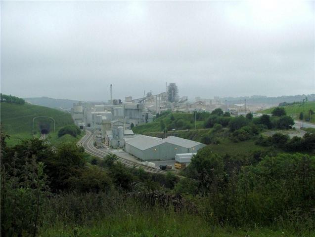
Tunstead quarry The first site visited, near the village of Peak Dale, gave a magnificent view over Tunstead quarry (Tarmac Ltd), the largest working quarry in Europe. A labelled field sketch enabled the party to identify the various pieces of plant. |
The limestone quarried (Chee Tor rock) is the purest limestone in the world, over 98.5% calcium carbonate. |
|
||
Quick lime (calcium oxide), hydraulic lime (calcium hydroxide), milk of lime, cement, ground lime and aggregates are some of the limestone products that are put to an enormous variety of uses in our everyday life. This high purity limestone is one of the most valuable economic resources, being used in the manufacture of soda ash (sodium carbonate), glass, metallurgical flux, sugar-beet refining, wire drawing, water treatment, paints, rubbers, limestone aggregates, and much else. Cement is an important product at Tunstead, since clay (which occurs in thin seams and fissures) is washed out in large quantities at the stone crushing plant. |
||||
|
|
|
||
The quarry is bisected by a north-south fault which on one side brings up to the quarry floor the limestone under the Chee Tor rock. This Woo Dale limestone is still very pure but with slightly more magnesium content, making it unsuitable for the chemical industry. Much of it is used for aggregates. |
||||
|
|
One of the most recent uses of limestone is in flue gas desulphurisation at electricity generating stations, and nearly a million tons a year is sent to the coal fired power stations in the Trent valley. |
||
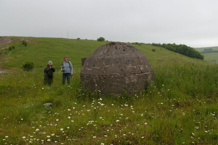
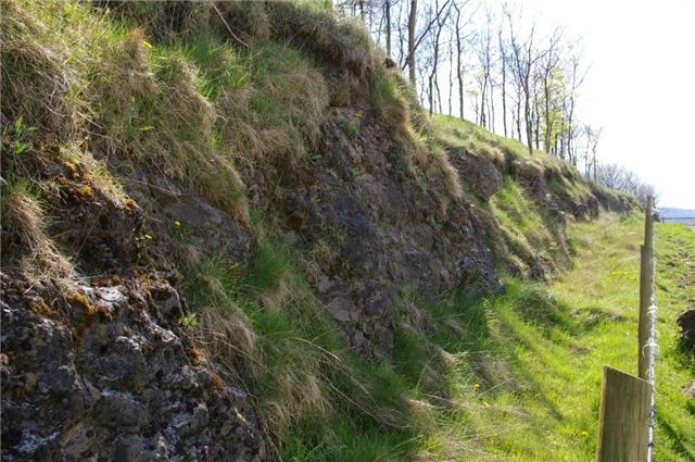
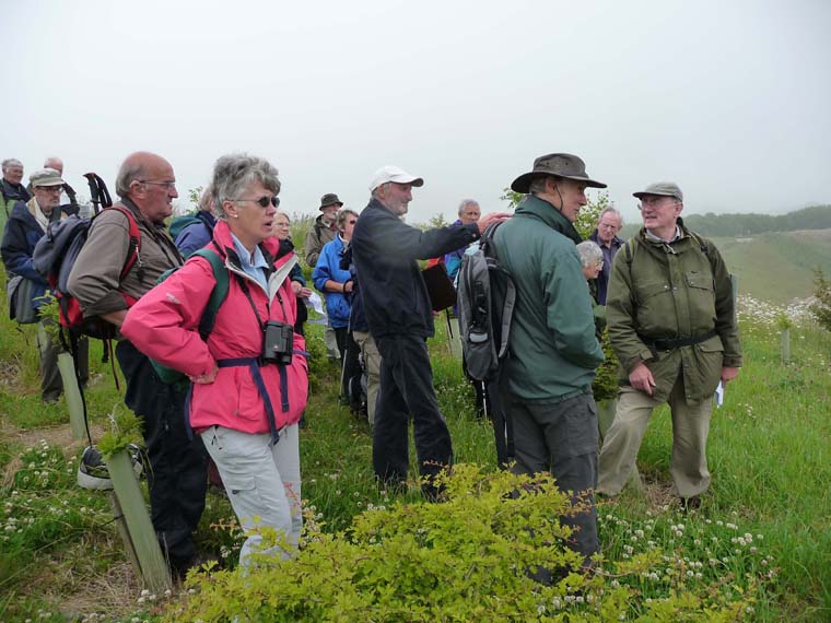
Thanks to the quarry estate manager we were allowed to park our cars in the staff car park, which enable us to continue our visit for the afternoon. The second locality was nearby, a view point on the Peak Dale road looking across the valley along which the railway runs. This instructive view shows clearly the outcrops of two lava flows (the upper Millers Dale lava and the lower Millers Dale lava) separated by limestone beds. These lava flows were deposited on the sea floor during the Carboniferous period, about 325m years ago and they interrupted the deposition of the limestone. |
nearby outcrop of |
|||
|
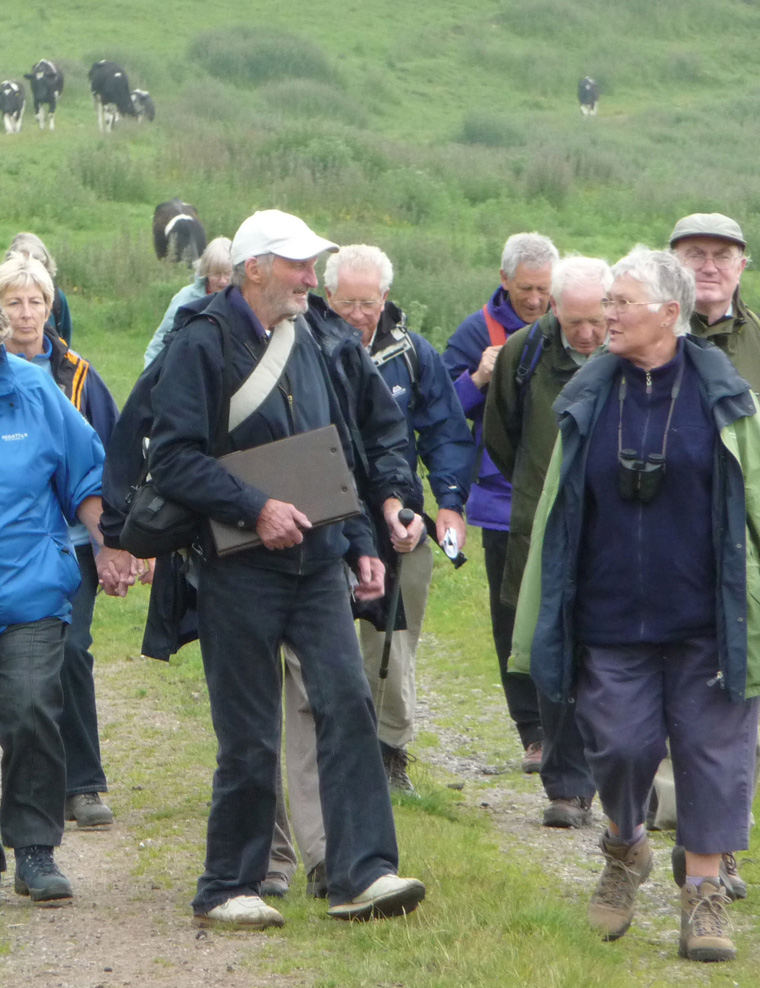
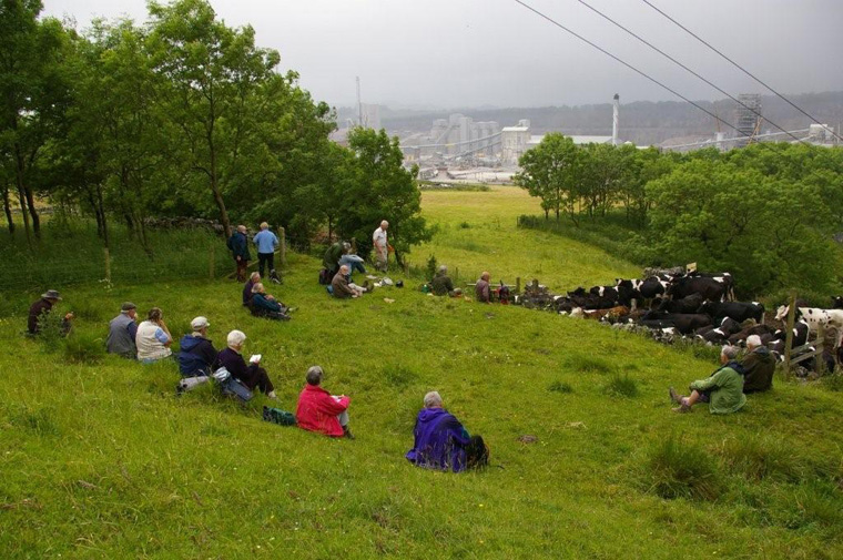
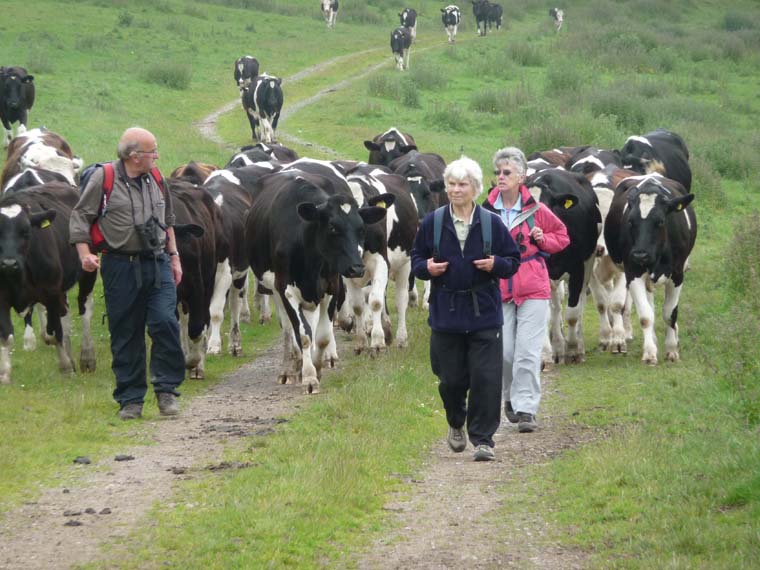
From here, the party took a rough track south-eastwards for about one mile pasing an outcrop of lower Millers Dale lava. A view point over the shaft kilns and railway provided a convenient place for lunch (sandwiches had been brought) of great interest to a herd of cows ('twinters') fortunately behind a fence.
|
|||
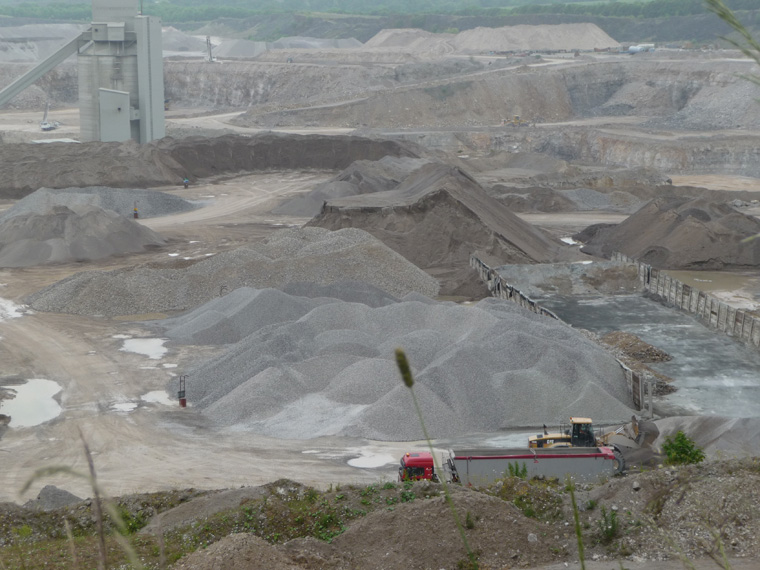
| After lunch, the cows, who stood on the path we wished to take were bravely shooed away by Ivan and we continued until we had a magnificent view over another quarry, Old Moor quarry. | ||||
|
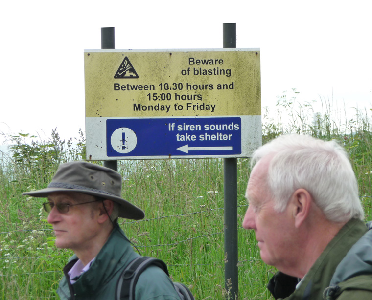
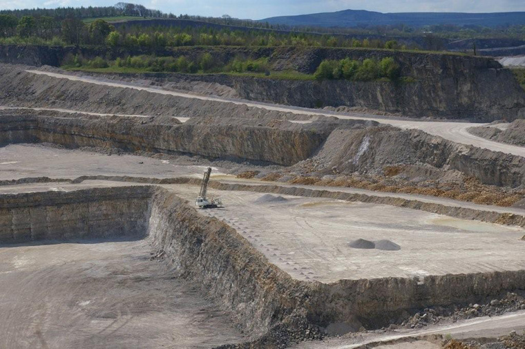
Old Moor quarry has been in operation for about 30 years. It has four levels ('lifts' in quarrymens terms), the lowest lift being in the Woo Dale limestone. | Evidence of the quarrying technique can be seen here, a row of drill holes punched by a rig along the edge of the limestone face. | ||
The drill holes are filled with explosives which blast down the limestone into heaps, for removal by 50 ton dumper trucks. It is then taken to the adjacent Tunstead quarry for processing. |
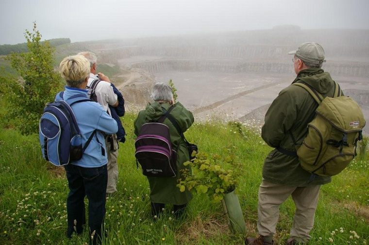
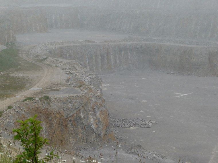
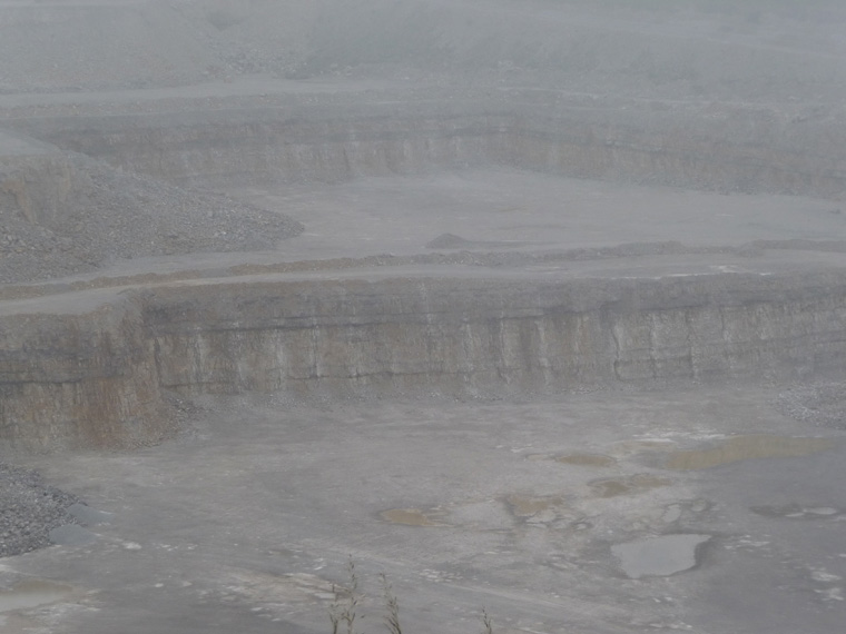
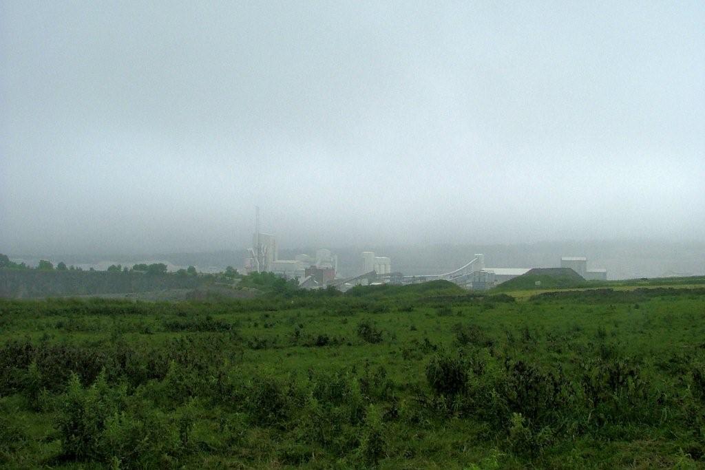
mist over Old Moor quarry |
mist over Old Moor quarry |
||
Old Moor Quarry Click on the image to enlarge and a drilling rig can be seen. It has already drilled a row of holes, marked by little heaps of limestone dust. |
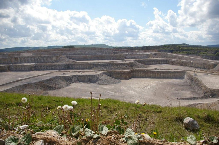
Old Moor Quarry< The three upper lifts are in the Chee Tor rock. The lowest lift is in the Woo Dale. The limestone is about 400m thick, so there is not much danger of it running out! |
Old Moor Quarry on a better day A borehole locally has shown that at the base is an unconformity with rocks of possibly Orodovician age. |
||
|
|
|
||
 |
two more photographs - taken by Pat on field trip to limestone quarries (click on images to enlarge) |
 |
A description of the full trail is too long for here, so below is a very short list of some features to be seen.
|
January 2011 |